PolXR: Petermann Glacier

Project Description
In Spring 2024, I joined a research lab on campus, the Columbia CGUI laboratory. I was tasked with creating accurate scenes for Petermann Glacier and the Ross Ice Shelf. The goal was to bring 3D landscapes as they appear in satellite images to simulate the polar region, allowing users to feel as though they were truly in Greenland while they studied melting ice sheets.
My project was part of a much larger effort to develop an XR scientific visualization tool that would allow users to visualize radar returns in an accurate 3D geospatial context.
Tools
Project Type
FOCUS
The Process

At first, I felt that the project was fairly simple and wouldn't take longer than a day or two. My semester-long project was simply to create 3D terrains that players would stand on once they wore their VR headsets, allowing them to feel as though they were studying the melting ice sheets of Petermann Glacier in person at Greenland. Yet, the project quickly proved to be more difficult than I initially thought.
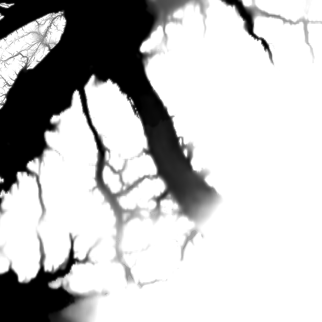
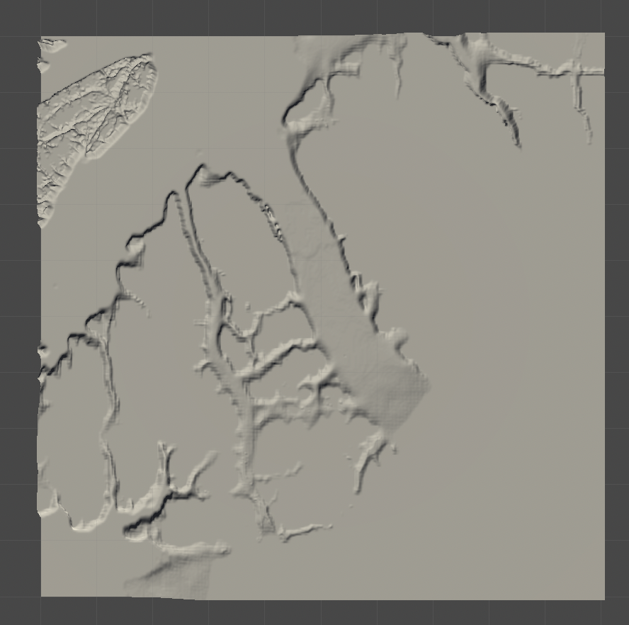
My first approach was to use heightmaps of the region with matching satellite imagery to layer over. However, it was difficult to find corresponding satellite images to the heightmaps I found. If I found a close match, the terrain appeared low quality when brought into Unity, and far from realistic.
I explored many approaches--many of which were promising-- but my goal was to find a solution that was most efficient, accurate, and reproducible with little data. My final solution was to bring heightmaps into QGIS and to generate 3D models through the software with the help of Esri Imagery.

Challenges

Insufficient Data: There is significantly less data available for polar regions compared to local regions, therefore standard methods of creating 3D models did not work well. Simple methods of creating terrain such as using Blender’s GIS plugin did not work. Additionally, heightmaps and corresponding satellite imagery were not available together; one source that I found charged nearly $2,000 to provide such data!
Skills: It was my first time working with digital elevation models, satellite data, and softwares such as QGIS and Blender. Although I felt confused and lost initially, I grew to enjoy my work and learning from other members of the lab.
Overall, I had a really fun learning experience and enjoyed meeting other undergraduate, graduate, and PhD students in the lab.


